一、画亚洲地图
1、worldmap()
(1)
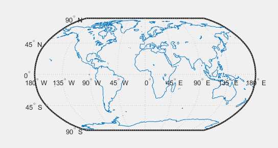
clear all
worldmap(‘World‘)
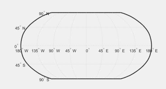
clear all
worldmap(‘World‘)%世界地图
load coast %载入海岸线
plotm(lat,long)%经纬度
(2)
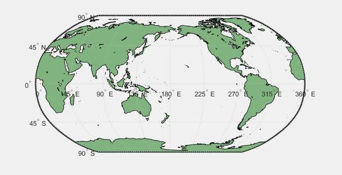
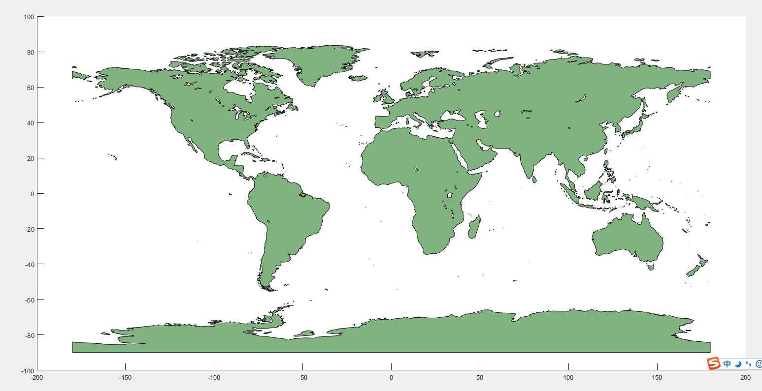
clear all
ax = worldmap(‘World‘);
setm(ax, ‘Origin‘, [0 180 0])%更改经度,从0到180再到0
land = shaperead(‘landareas‘, ‘UseGeoCoords‘, true);%陆地
geoshow(ax, land, ‘FaceColor‘, [0.5 0.7 0.5])
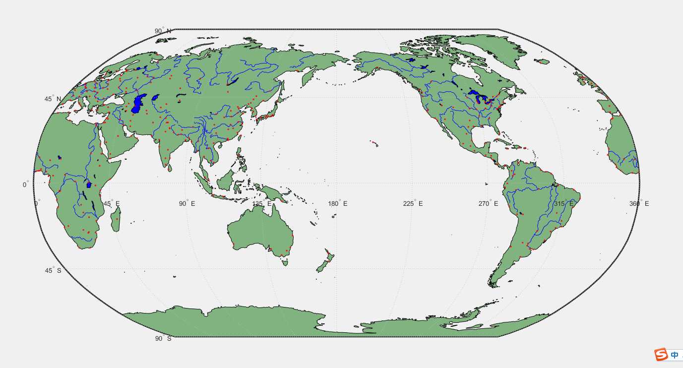
clear all
ax = worldmap(‘World‘);
setm(ax, ‘Origin‘, [0 180 0])%更改经度,从0到180再到0
land = shaperead(‘landareas‘, ‘UseGeoCoords‘, true);
geoshow(ax, land, ‘FaceColor‘, [0.5 0.7 0.5])
lakes = shaperead(‘worldlakes‘, ‘UseGeoCoords‘, true);
geoshow(lakes, ‘FaceColor‘, ‘blue‘)
rivers = shaperead(‘worldrivers‘, ‘UseGeoCoords‘, true);
geoshow(rivers, ‘Color‘, ‘blue‘)
cities = shaperead(‘worldcities‘, ‘UseGeoCoords‘, true);
geoshow(cities, ‘Marker‘, ‘.‘, ‘Color‘, ‘red‘)
land = shaperead(‘landareas‘, ‘UseGeoCoords‘, true)%陆地  后者参数x,y为经纬度
geoshow(land, ‘FaceColor‘, [0.5 0.7 0.5])
原文:http://www.cnblogs.com/ruo-li-suo-yi/p/7528554.html